Welcome to Orienteering
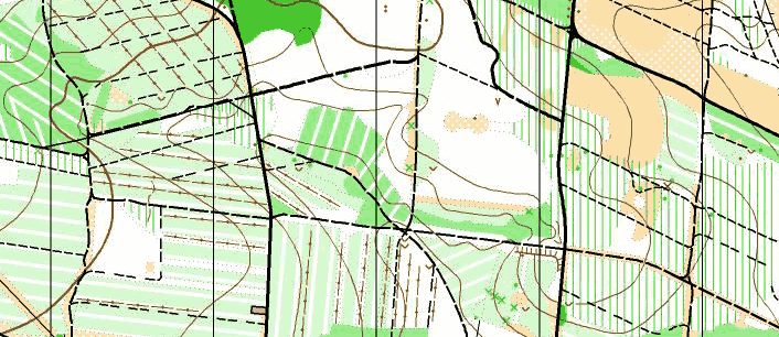
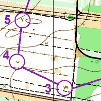
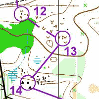
Orienteering map segment of a typical Nottinghamshire area (Blidworth Woods).
How difficult are the different courses available?
Courses are categorised by colours defining length and difficulty. White, Yellow and Orange courses are the most suitable for beginners, with your choice depending on your level of fitness, confidence and how adventurous you are feeling. For the more athletic beginners longer versions of Orange courses are occasionally available. Here is a list of the commonly available courses in the colour scale and the level of difficulty and distance of each:Explanation of Colour Coded Courses
Colour coded courses are related to ability in navigation and provide a progression for all ages and standards. Colour coding allows standardisation between different courses at different venues. The selection of courses available at events may vary according to the terrain and relative importance of the event.Easy
The course is along paths or following walls or fences. There will be a control at every junction, and it is placed to show the direction you should leave the junction. You are given your map before your start to allow you time to familiarise yourself with it.
Fairly Easy
As White, but not every junction has a control, so you have to make some decisions of which way to go. Some controls may be a few paces off the paths (but clearly visible). Compass may be used, but are not essential.
Moderate
Controls may be a short distance off the path but may not be within view. You will also have to make decisions about route is quickest - you can cut corners if you want. You are no longer given your map before your start - you pick up your map just after you have started and all decisions are made while on the course. A compass is now very helpful.
Hard
There will be lots of decisions to be made along the way and control points may be anywhere but there is normally something big and obvious not too far from the control to help. Compass now necessary equipment.
Very Hard
There will be many route choice decisions to be made and controls can be in very complex terrain requiring accurate map reading. There is limited running on paths and distance between control points can be well over 1 km.
How do the maps differ from other types of maps?
Maps are specifically drawn for orienteering normally at a scale of 1:10,000 or 1:15,000 with 5m contour intervals. Here is a quick guide to what the colours on the maps mean:- White - shows an area of forest which is easy to run through.
- Green - Indicates the density of vegetation, the deeper shades of green indicates thicker forest with lower visibility and generally slower running speeds. Dark green indicates impenetrable forest such as rhododendrons. Green can also be used to indicate features such as distinctive trees or individual trees in open land.
- Orange / Yellow - Indicates open land (no trees) with pale orange indicating rough open land (longer grass, heather etc.).
- Brown - Indicates land height and small earth features such as contours, small hills (knolls) and pits (small vertical cavities in the ground).
- Black - Constructed features such as tracks, paths and buildings. Rock features such as cliffs and boulders.
- Blue - This indicates water features such as lakes, ponds, rivers, ditches and water holes.
What do I do when I get to my first event?
If the event is not at a major tourist destination (i.e. brown signs), there will be temporary direction signs from nearby major roads. Please park as instructed and pay any required parking fee; once you have arrived at the event you will need to register to run. This is normally obvious and is conducted at a tent or from a car; where it is not, signs will normally indicate the way to registration. Once you are there, there will be displayed the courses on offer with the length and difficulty. Pay your money and register on the course that you would like to compete on, make sure you have a pen handy as you may have to fill in a slip with your details. If you need to hire a 'dibber' this is also done at registration.How do I join Nottinghamshire Orienteering Club?
Full details of how to join and the benefits can be found here on the club website.Where can I find further information?
Further information can be found on the British Orienteering Website: www.britishorienteering.org.uk.